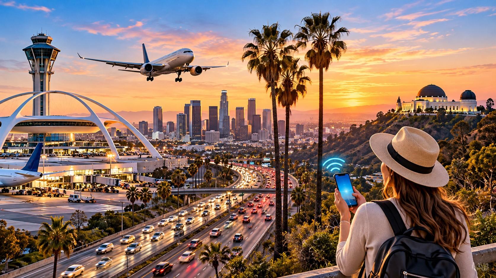
Los Angeles eSIM Guide: LAX, Freeways and Coverage Dead Zones
Los Angeles is a driving city, and that single fact decides everything about connectivity there. You will spend more hours in a car than in any museum, your route will change several times because of traffic, and the app rerouting you needs a live connection the entire time. Offline maps do not handle a closure on the 405.
The city also contains the most frustrating arrival experience in American aviation. Standard rideshare pickup at LAX does not happen at the terminal curb. It happens at a dedicated lot called LAX-it, east of Terminal 1, reached by a walk or a free shuttle, and it adds 20 to 40 minutes to your exit. Terminal Wi-Fi does not reach it.
A US eSIM connects to AT&T, T-Mobile or Verizon, installs before you fly, and starts at $0.60 with Vesim across 220+ destinations. Coverage across the LA basin is strong, and the gaps are geographic rather than urban: canyons, tunnels, mountain roads and the desert beyond.
This guide covers which network suits an LA trip, what happens at LAX including the long delayed people mover, freeway coverage on the 405, 10, 101 and 110, Metro rail and its underground sections, the canyon and coastal dead zones, day trips to Joshua Tree, Big Bear and Santa Barbara, and how much data a week in LA consumes. Thirteen questions close it out.
Which network suits Los Angeles
Choice depends on whether you stay in the basin or head for the mountains and desert.
T-Mobile leads on urban speed across Downtown, Hollywood, Santa Monica, Koreatown and the Westside, with deep mid-band 5G through the densest corridors.
Verizon performs best in the canyons, along the Pacific Coast Highway north of Malibu, through the Angeles National Forest and out towards Joshua Tree. Anyone renting a car for day trips should weight this heavily.
AT&T delivers steady coverage across both, and holds up well along the main freeway corridors.
Coverage across the basin is dense everywhere people live. The exceptions cluster in the hills: Topanga, Laurel Canyon, Mulholland’s western stretch, and the canyon roads above Malibu all thin out sharply.
Your arrival happens before any of that matters.
LAX: terminals, LAX-it and the people mover
LAX runs free terminal-wide Wi-Fi across all nine terminals including Tom Bradley International, with solid cellular throughout. The problem is what happens after you clear the terminal.
LAX-it has been the standard pickup point for Uber, Lyft and taxis since 2019. It sits on the lower arrivals level just east of Terminal 1, reached by walking or by a free shuttle running every three to five minutes in a dedicated lane. The lot has restrooms, seating and charging stations. It also has a queue that can stretch badly when several international flights land together.
Cellular coverage at LAX-it is adequate but the area sits outside terminal Wi-Fi range, so you need a working data plan to match with your driver. Arriving international passengers without one routinely find themselves stuck in that lot.
The Automated People Mover, branded SkyLink, is a 2.25 mile elevated train with six stations linking the terminals to a consolidated rental car facility, the transit centre for Metro rail, and a new ground transport station. It was scheduled to open in 2026 after repeated delays, with rideshare pickup expected to shift from LAX-it to the new ground transport centre once it runs. Check the current status before you travel, since the timeline has moved several times.
FlyAway buses to Union Station, Hollywood and Van Nuys carry normal street-level coverage throughout.
Once you have a car, the freeways take over.
Freeway coverage: the 405, 10, 101 and 110
Freeway coverage across the LA basin is consistently good, which matters because live rerouting is constant.
The 405 carries strong coverage from the San Fernando Valley through the Sepulveda Pass to the South Bay. The pass itself has occasional weak patches in the deepest cut near the Getty.
The 10 runs well from Santa Monica through Downtown and east towards Palm Springs, with thinning only past Banning.
The 101 is solid through Hollywood, Studio City and into Ventura County, with gaps in the Conejo Grade area on some networks.
The 110 carries coverage throughout, including the historic Arroyo Seco Parkway section into Pasadena, where the short tunnels near Figueroa drop signal for a few seconds.
The 5 performs well through the basin and thins considerably over the Grapevine towards Bakersfield.
The 2 and Angeles Crest Highway lose service quickly once you climb, which is worth knowing before a mountain drive.
Tunnels are the recurring pattern. Short ones cost you seconds; the point is that your navigation app should have the route cached, not that coverage is absent.
Metro rail and underground sections
LA Metro runs a mix of surface and underground rail, and the underground sections behave differently from the rest.
The B Line and D Line, formerly Red and Purple, run underground through Downtown, Koreatown and Hollywood. Stations carry coverage, while tunnels between them vary by segment and carrier. The A and E Lines run largely at surface level with normal coverage, as does the C Line along the 105 corridor.
Union Station has strong coverage throughout, including the Metrolink and Amtrak platforms.
The practical approach is the same as any metro system: compose messages on the platform, cache your route before descending, and expect gaps mid-tunnel.
Surface transit including the Big Blue Bus in Santa Monica and DASH shuttles downtown carries normal street coverage.
Canyons, coast and the dead zones tourists hit
Malibu canyon roads including Topanga and Las Virgenes lose signal in the deeper sections
Pacific Coast Highway north of Malibu thins in stretches towards Point Mugu
Griffith Park trails away from the Observatory have patchy service, though the Observatory itself is well covered
Runyon Canyon has coverage at the ridgeline and gaps in the lower gullies
Angeles National Forest and Mount Wilson roads lose service quickly with altitude
Underground parking structures across Downtown and Century City block signal entirely
The Observatory deserves a specific note. Parking sits along winding approach roads with intermittent coverage, while the building and terrace are strongly connected with views across the basin.
Beach areas from Santa Monica to Manhattan Beach carry good coverage, including the piers.
Day trips: Joshua Tree, Big Bear, Santa Barbara and Anaheim
Joshua Tree is two to three hours east, with coverage along I-10 and the approach through Yucca Valley. Inside the park, service is sparse to absent, which our national parks guide covers.
Big Bear sits two hours northeast up mountain roads that lose signal in sections. The village itself is covered.
Santa Barbara is 90 minutes north along the 101 with coverage the whole way, including the coastal stretch through Carpinteria.
Anaheim and Disneyland are 45 minutes southeast, and both Disney parks run their own guest Wi-Fi alongside strong cellular. Park apps handling ride wait times and mobile ordering consume noticeable data across a full day.
Las Vegas is four hours northeast on the I-15, with Mojave gaps covered in our road trip guide and the destination itself in our Las Vegas guide.
How much data a Los Angeles trip needs
Live navigation consumes about 5MB per hour, more with frequent rerouting
Rideshare apps consume under 50MB across a full day
Messaging and email consume roughly 100MB on a busy day
Photo and video uploads consume 500MB to 2GB across a week
Theme park apps consume 200MB to 400MB across a full park day
Music streaming while driving consumes about 70MB per hour
A week in LA typically lands between 5GB and 10GB, with driving navigation and photo uploads driving most of it. Downloading a music library before you travel removes a surprising share.
Install the profile before departure, since no ID is needed, as our guide to US eSIM registration rules explains. Plan sizes sit on the US eSIM page.
Why LA traffic makes offline maps insufficient
Traffic is the reason a data plan matters more here than in most American cities. Los Angeles routes change constantly, and the difference between two options is frequently 30 minutes rather than five.
Offline maps hold the road network and nothing else. They cannot see a closure on the 110, a collision blocking two lanes of the 405, or the 20 minute swing between the 10 and Olympic Boulevard at 5 PM. Waze and Google Maps both rebuild the route from live data every few minutes, which is exactly the function that stops without a connection.
Three other driving tasks need live data:
Parking apps including ParkWhiz and SpotHero, since most Downtown and Hollywood structures are app-managed
Charging networks for electric rentals, where availability changes by the minute
Toll and express lane transponders on the 10 and 110, where account systems are online
Cache your route before you leave the hotel anyway. It gives you a fallback when you drop into a canyon for ten minutes.
Setting up before you fly
Dial *#06# and confirm an EID appears beside the IMEI
Check your handset is unlocked with your home carrier
Buy a plan sized to the trip and save the QR code to your gallery
Install the profile over home Wi-Fi and label it “USA data”
Disable data roaming on your home line before boarding
Download offline maps for the basin plus any day trip routes
Cache a music library so streaming does not run all week in the car
Landing at LAX, enable the travel profile before you leave the gate area, because you will need a working connection at the LAX-it lot rather than inside the terminal.
Can I get an Uber at the LAX terminal curb?
No. Standard Uber, Lyft and taxi pickups happen at LAX-it, a dedicated lot east of Terminal 1, reached by walking or a free shuttle. It adds 20 to 40 minutes to your exit and sits outside terminal Wi-Fi range.
Is there free Wi-Fi at LAX?
Yes, free terminal-wide Wi-Fi across all terminals including Tom Bradley International. Coverage stops at the terminal door, which excludes the LAX-it lot and the parking structures.
Has the LAX people mover opened?
The Automated People Mover, branded SkyLink, was scheduled to open in 2026 after repeated delays from an original 2023 target. Check the current status before travelling, since rideshare pickup will move from LAX-it to a new ground transport centre when it runs.
Which carrier is best for Los Angeles?
T-Mobile delivers the fastest urban speeds across Downtown, Hollywood and the Westside, while Verizon performs better in the canyons, along PCH north of Malibu and out towards Joshua Tree. AT&T is steady across both.
Do I have signal on the 405 freeway?
Yes across almost the entire route, with occasional weak patches in the Sepulveda Pass near the Getty. Coverage on the 10, 101 and 110 is similarly consistent through the basin.
Does LA Metro have cell service underground?
Stations carry coverage, while tunnels between them vary by segment and carrier on the B and D Lines. Surface lines including the A, E and C run with normal street-level service throughout.
Will my phone work in Malibu and on PCH?
Along the main coastal stretch, yes. Signal thins in the canyon roads including Topanga and Las Virgenes, and in sections of PCH north towards Point Mugu.
Is there coverage at Griffith Observatory?
Yes at the building and terrace, which sit high above the basin with clear line of sight. The winding approach roads and the parking areas have more intermittent service.
How much data do I need for a week in Los Angeles?
Around 5GB to 10GB across seven days, with live navigation and photo uploads accounting for most of it. Caching a music library before you fly removes a meaningful share of the total.
Does my US eSIM work at Disneyland?
Yes. Anaheim carries strong cellular coverage, and both Disney parks also run guest Wi-Fi. The park app handling wait times and mobile ordering consumes 200MB to 400MB across a full day.
Will I have service in Joshua Tree National Park?
Rarely. Coverage holds on I-10 and through Yucca Valley, then drops to sparse or absent inside the park boundary. Download offline maps and share your route before entering.
Do I need a car to get around Los Angeles?
Not strictly, since Metro rail, buses and rideshare cover much of the city, though a car shortens most cross-town journeys considerably. Either way, live navigation running continuously is what drives data use here.
Can I use my home number for restaurant bookings in LA?
Yes. Resy, OpenTable and Yelp all accept foreign numbers, and all run over a data-only travel profile. Keep your home line active so verification codes arrive on it.
Is public Wi-Fi widely available in Los Angeles?
Indoors, yes, across coffee chains, libraries, malls and most hotels, with LA County libraries among the fastest. The city’s sprawl means almost none of it reaches the places you drive through between stops.
Can I share my LA data plan with a rental car passenger?
Yes, through personal hotspot on plans that permit tethering. One larger allowance shared across a car full of people usually costs less than separate profiles, though it drains the host phone while navigating.
Does coverage change between Downtown and the Valley?
Both carry strong urban coverage, with the Sepulveda Pass between them being the only notable weak stretch. The Valley thins at its northern edges towards the Santa Susana and Verdugo foothills.
The short version
Los Angeles runs on driving, which means live navigation running continuously and rerouting constantly, so offline maps alone will not get you across the basin during a closure. Coverage across the city is strong on all three networks, with T-Mobile fastest through Downtown and the Westside and Verizon reaching furthest into the canyons, PCH north of Malibu and the desert routes.
The arrival is the weak point. LAX runs free terminal Wi-Fi, but standard rideshare pickup happens at the LAX-it lot east of Terminal 1, outside that coverage, and the people mover meant to replace it has slipped repeatedly. Metro stations carry service while some tunnels do not, and the canyons, forest roads and underground parking structures are the reliable gaps.
Size a week at 5GB to 10GB, cache your music before you fly, and install the profile at home. Compare plans from $0.60 on the Vesim US eSIM page.